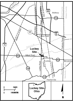
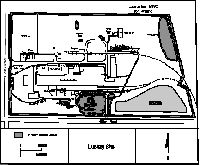
Luckey Locality Map
Luckey (FUSRAP Site)
The Luckey Site is made up of approximately 16 hectares (40 acres), and is located approximately 35 kilometers (22 miles) southeast of Toledo in Luckey, Ohio. Luckey’s was owned and operated by the US Government to process magnesium. In the late 1940s, the Atomic Energy Commission, a predecessor agency to the US Department of Energy built a beryllium production facility on the site. Waste from these operations was placed in three lagoons. After the plant closed in 1959, contaminated sludge and soils were moved from the lagoons to a landfill that was later capped, graded and seeded. EM completed it's work at this site in 1997 with the transfer to the Formerly Utilized Sites Remedial Action Program (FUSRAP) at the United States Army Corps of Engineers (USACE), in accordance with the Energy and Water Development Appropriations Act of FY 1998.
 Home
Home Register
 Login
Login Album list
 Last uploads
 Last comments
 Most viewed
 Top rated
 By date
 My Favorites
 Search